


Breadcrumb
Geospatial Certificates
Whether you're considering a career change or looking to advance or augment your current career, the Geospatial Certificate Program will give you the tools to stay current in an exciting and expanding field.
Geospatial sciences are critical to solving some of the world's greatest challenges, as well as local problems like sea-level rise, emergency preparedness, and providing health services. The data and methods involved require experts that are trained in geospatial skills and how to apply these skills to other disciplines.
There are two certificate options available:
This provides foundational concepts and methods in GIS, Remote Sensing, and Cartography that are transferable and relevant across disciplines and industries. This accelerated program has a flexible course sequence and is devised to meet your career interests. Courses are 100% online—ideal for working people who want to advance in their current career, break into a new field, gain points towards a license, or advance their organizations. Courses are offered in fast-paced 8-week compressed terms, designed to be completed in 11-14 months. The course sequence is flexible—most classes can be taken in any order.
The Advanced Geospatial Certificate builds on the foundation of the Basic Geospatial Certificate, teaching advanced geospatial methods and techniques, and giving students the skills to create professional maps and advanced remote sensing techniques. Elective courses allow the student to delve deeper into GIS, cartography, or remote sensing or to learn to automate GIS tasks with programming.
What you’ll learn
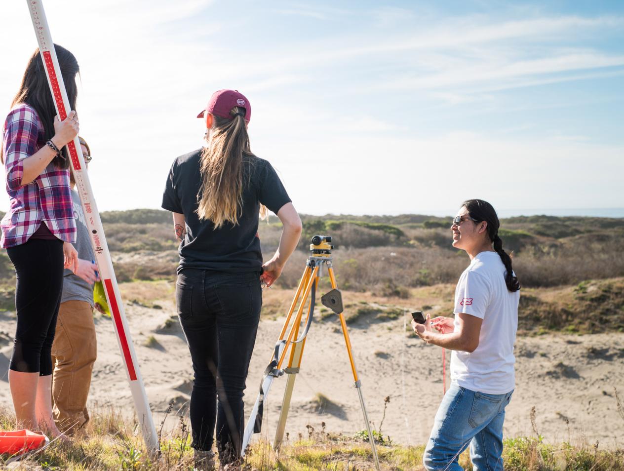
Through a series of classes and labs, you’ll learn traditional and computer lab activities to further develop understanding of scale, coordinate systems, geodesy, direction, projections, traditional land surveying techniques, global positioning systems (GPS), remote sensing, geographic information systems (GIS), and cartography.
Program highlights
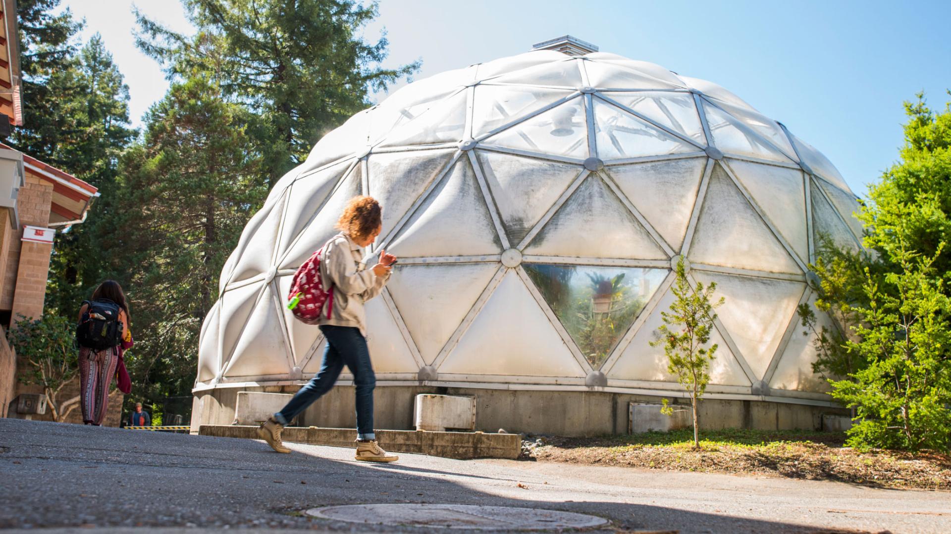
The North Coast provides a unique learning lab for students—connecting their education to practical experiences that can’t be found elsewhere.
Geospatial sciences apply to a wide range of interests within the natural and social sciences. Field experience, community involvement, knowledge of particular world regions, and development of a global awareness are emphasized.
We strive for societal and economic improvement, demonstrated in our personal passions and the professions that we pursue.