


Breadcrumb
Geospatial Programs at Cal Poly Humboldt
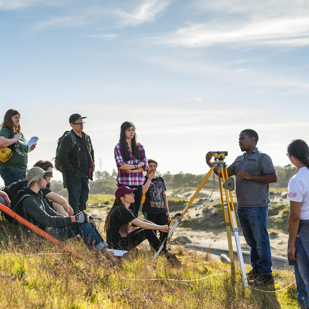
Cal Poly Humboldt offers an exciting range of geospatial offerings across the departments of Geography, Environment & Spatial Analysis, Forestry, Fire & Rangeland Management, and Environmental Science & Management. Our interdisciplinary programs encompass GIS, remote sensing, geospatial modeling, mobile mapping, cartography, and programming.
Program Options
Learn more about our program options housed in the departments of Geography, Environment & Spatial Analysis, Forestry, Fire & Rangeland Management and Environmental Science & Management.
Geospatial Science & Technology, B.S.
This interdisciplinary program is critical to solving some of the world's greatest challenges, as well as local problems like sea-level rise, emergency preparedness, and providing health services. The data and methods involved require experts that are trained in geospatial skills and how to apply these skills to other disciplines.
Choose from two concentration: Environmental Science & Management or Social Science Concentrations
Geospatial Analysis Minor
Prepares students to apply the technologies of geographic information systems, cartography, and multispectral remote sensing, to various disciplines. These cross-disciplinary research tools analyze and portray data across time and geographic space.
Geospatial Basic Certificate
Build a strong foundation in geospatial science by learning to use GIS, remote sensing, and mapping technologies to analyze real-world environmental and social issues. This flexible, entry-level certificate develops core skills in spatial thinking, data visualization, and professional mapmaking, while creating a clear pathway to more advanced, stackable credentials.
Geographic Information Science (GIS) Certificate
Develop expertise in spatial analysis, modeling, and geovisualization to tackle complex challenges in fields such as urban planning, environmental management, public service, and disaster response. Through hands-on work, students gain the skills to produce high-level geospatial analyses, professional maps, and data-driven reports
Remote Sensing Certificate
Gain specialized training in interpreting satellite and aerial imagery to monitor environmental change, support disaster response, and inform decision-making across diverse fields. This certificate emphasizes hands-on experience with industry-standard software and techniques, preparing students to translate complex imagery and spatial data into meaningful insights.
Cartography Certificate
Master the design and communication of geographic information through advanced training in cartography and geovisualization. Students explore both the artistic and technical dimensions of mapmaking, developing expertise in visual storytelling, map layout, and interactive design to create compelling, professional-quality maps for a wide range of audiences.
Why is Geospatial Science Important?
Geospatial technologies portray and analyze geographic location and characteristics of physical and human environments. Applying these software technologies, geospatial data is layered and analyzed to understand and communicate complex phenomena such as natural disasters, environmental impact, land coverage change, migrating populations, crime patterns, global warming, and changing economic trends. Geospatial analysis skills are applicable to a growing list of professions, and increasingly sought after by employers.